| Sabi Sand Game Reserve | |
|---|---|
 The female African Leopard "Thandi" in the Djuma concession of the Sabi Sand reserve | |
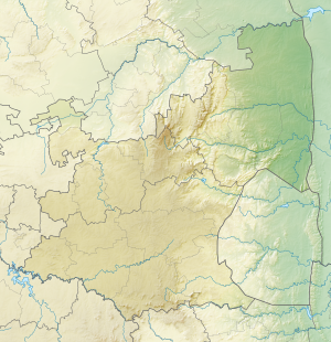
 Sabi Sand Game Reserve Map | |
| Location | Mpumalanga, South Africa |
| Coordinates | 24°48′02″S 31°32′29″E / 24.80056°S 31.54139°E |
| Area | 650 km2 (250 sq mi) |
| Established | 1948 |
| Governing body | Sabi Sand Wildtuin (SSW) |
Sabi Sand Game Reserve is located adjacent to the Kruger National Park in the Lowveld of Mpumalanga, South Africa.[1] Officially named Sabi Sand Wildtuin, the Sabi Sand Game Reserve consists of a group of private game reserves. The Newington Gate is at 24°52′9″S 31°24′16″E / 24.86917°S 31.40444°E and west of the Kruger Gate and Skukuza camp of Kruger Park. Other entrances are Gowrie Gate in the far north and Shaws Gate in the south.
The park's name comes from the Sabie River on its southern boundary and the Sand River flowing through it. The area of the reserve is 62,308 hectares (623.08 km2)[2] and it shares a non-fenced boundary of 50 km (31 miles) with the Kruger National Park to its east.
Reserves in Sabi Sand include Buffelshoek, Djuma, Elephant Plains, Cheetah Plains, Mala Mala, Chitwa Chitwa, Nkorho, Simbambili, Arathusa, Londolozi, Umkumbe, Nottens, Sabi Sabi, Lion Sands, Kirkman's Kamp, Singita, Exeter Leadwood, Inyati Game Lodge, Idube, Dulini, Leopard Hills, Savanna and Ulusaba.[3]
- ^ "Sabi Sand Wildtuin» History of the Reserve". www.sabisand.co.za. Retrieved 12 April 2018.
- ^ "History of Sabi Sand Game Reserve, South Africa". southafrica.co.za. Retrieved 2 April 2019.
- ^ "Sabi Sand Map". sabi.krugerpark.co.za. Retrieved 18 July 2020.

