San Francisco de los Romo | |
|---|---|
 | |
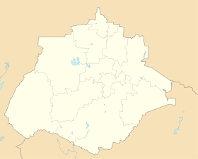
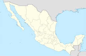
 Municipality location in Aguascalientes | |
| Coordinates: 22°05′N 102°16′W / 22.083°N 102.267°W | |
| Country | Mexico |
| State | Aguascalientes |
| Area | |
| • Land | 139.452 km2 (53.843 sq mi) |
| Population (2015) | |
| • Total | 46,454 |
| • Density | 333.1/km2 (863/sq mi) |
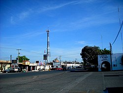
San Francisco de los Romo is a municipality and city in the Mexican state of Aguascalientes. The city of San Francisco de los Romo serves as the municipal seat for the surrounding municipality of San Francisco de los Romo.
It is located in the middle of the Aguascalientes Valley, at 20 km towards north from the state capital Aguascalientes; it adjoins with the municipalities of Pabellón de Arteaga and Asientos to the north, Jesús María to the west, and Aguascalientes to the south-east. The city, which is the state's sixth-largest community, is located at the northwest corner of the municipality.

