This article needs additional citations for verification. (January 2022) |
Native name: সন্দ্বীপ | |
|---|---|
 Satellite view of Sandwip | |
| Geography | |
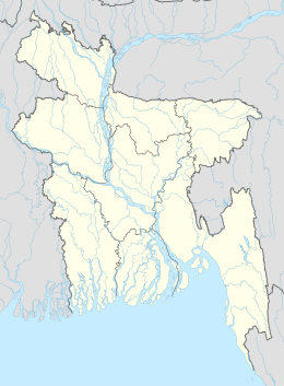
| Location | Bay of Bengal |
| Coordinates | 22°29′N 91°29′E / 22.483°N 91.483°E |
| Adjacent to | Bay of Bengal |
| Total islands | 3 |
| Major islands | 1 |
| Area | 762.42 km2 (294.37 sq mi) |
| Length | 50 km (31 mi) |
| Width | 5–15 km (3.1–9.3 mi) |
| Administration | |
| Division | Chittagong |
| Demographics | |
| Demonym | Sandwipi |
| Population | 450,000[1] (2016) |
| Pop. density | 439/km2 (1137/sq mi) |
Sandwip (Bengali: সন্দ্বীপ, romanized: Sôndbīp, pronounced [ʃondip]) is an island located along the southeastern coast of Bangladesh in the Chittagong District. Along with the island of Urir Char, it is part of the Sandwip Upazila.
- ^ "Sandwip Upazila (সন্দ্বীপ উপজেলা)". Chittagong. 26 May 2011. Retrieved 7 November 2012.
