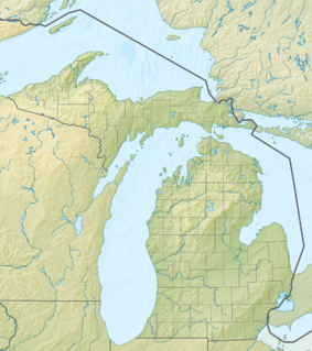
| Sanilac Shores Underwater Preserve | |
|---|---|
| Location | Lake Huron, Sanilac County, Michigan USA |
| Nearest city | Port Sanilac, Michigan |
| Coordinates | 43°25′55″N 82°24′43″W / 43.432°N 82.412°W |
| Area | 163 square miles (420 km2) |
| Governing body | Michigan Department of Natural Resources |
The Sanilac Shores Underwater Preserve was established to promote conservation of the submerged historical resources in Lake Huron near Port Sanilac, Michigan. The Sanilac Shores Underwater Preserve spans a total of 163 square miles (420 km2) of Lake Huron. The Michigan Underwater Preserve Council oversees activities relating to all of Michigan's Underwater Preserves.[1]
The preserve is open to scuba divers.
