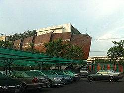
Saphan Sung
สะพานสูง | |
|---|---|
 Unknown location of Saphan Sung District | |
 Khet location in Bangkok | |
| Coordinates: 13°46′12″N 100°41′5″E / 13.77000°N 100.68472°E | |
| Country | |
| Province | Bangkok |
| Seat | Saphan Sung |
| Khwaeng | 3 |
| Established | November 21, 1997 |
| Area | |
• Total | 28.124 km2 (10.859 sq mi) |
| Population (2017) | |
• Total | 95,537[1] |
| • Density | 3,396.99/km2 (8,798.2/sq mi) |
| Time zone | UTC+7 (THA) |
| Postal code | 10240 except Khwaeng Thap Chang: 10250 |
| Geocode | 1044 |
Saphan Sung (Thai: สะพานสูง, pronounced [sā.pʰāːn sǔːŋ]) is one of the 50 districts (khet) of Bangkok, Thailand. Located on the eastern part of the capital, it is bounded by other Bangkok districts (from north clockwise): Khan Na Yao, Min Buri, Lat Krabang, Prawet, Suan Luang, Bang Kapi, and Bueng Kum. Most part of Saphan Sung district are low density residential area.
- ^ "Population and House Report for Year 2017 (see page 2 for data of this district)". Department of Provincial Administration, Ministry of Internal Affairs. Retrieved 2018-04-01. (Search page)