This article needs additional citations for verification. (April 2024) |
| Sarugaishi River | |
|---|---|
 The Sarugaishi in Tōno in spring | |
| Native name | 猿ヶ石川 (Japanese) |
| Location | |
| Country | Japan |
| Physical characteristics | |
| Source | |
| • location | Mt. Yakushi, Tōno, Iwate |
| • elevation | 1,645 m (5,397 ft) |
| Mouth | Hanamaki, Iwate |
• location | Kitakami River |
• coordinates | 39°23′55″N 141°07′59″E / 39.39861°N 141.13306°E |
| Length | 73.1 km (45.4 mi) |
| Basin size | 952 km2 (368 sq mi) |
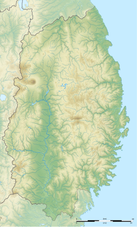
The Sarugaishi River (猿ヶ石川, Sarugaishi-gawa) is a river in Iwate Prefecture, Japan.[1]
The Sarugaishi River rises in the Kitakami Mountains just south of Mt. Yakushi in Tōno and empties into the Kitakami River in Hanamaki. The Tase Dam is on the Sarugaishi River, in eastern Hanamaki in the former town of Tōwa. This dam was completed in 1953. There is a legend that the entire floodplain of the river in Tōno was once a large lake dammed by the hills in Miyamori.
- ^ Thompson, C. S. (2004). "You Are Your House: The Construction and Continuity of Family and Identity Using Yago in a Japanese Suburban Farming Community". Social Science Japan Journal. 7 (1): 61–81. doi:10.1093/ssjj/7.1.61.

