This article needs additional citations for verification. (December 2018) |
| Selbari Range | |
|---|---|
| Highest point | |
| Elevation | 1,331 m (4,367 ft) |
| Coordinates | 20°50′29.5″N 74°05′32.7″E / 20.841528°N 74.092417°E |
| Geography | |
| District | Nasik |
| Parent range | Western Ghats |
| Geology | |
| Mountain type | Flood basalt |
| Rock type | Basalt |
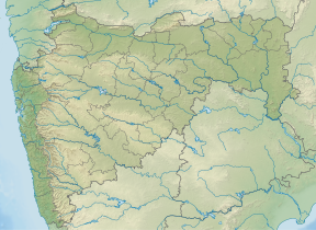
Selbari is a mountain range located in Nashik District in Maharashtra, India. Spanning east-west the hills form the northernmost extent of the Sahyadris and serve as a natural boundary between Nashik District and Dhule district. The range is gifted with a number of peaks including the only two-pinnacled peak of Mangi-Tungi rising to a considerable height of up to 1,331 meters.
Traditionally, the range is limited to the hills sprawling north[1] of the Mausam River but extended definitions also include those south of the Mosam river which are connected to the former in a semi-circular loop. This shorter southern extension is known as the Dolbhari hills named after a village settlement around their base. To avoid disambiguity, sources refer to this agglomeration as the Selbari-Dholbari[2] range.
- ^ "NASIK DISTRICT GAZETTEERs". cultural.maharashtra.gov.in. Archived from the original on 25 September 2013. Retrieved 17 January 2022.
- ^ "Mangi-Tungi , Nashik District, Western Ghats, India, Adventure, Trekking". Trekshitiz.com. Retrieved 30 December 2018.
