Show Low Regional Airport

Show Low Regional Airport
Summary
Airport typePublic
OwnerCity of Show Low
ServesShow Low, Arizona
Elevation AMSL6,415 ft / 1,955 m
Coordinates34°15′56″N 110°00′20″W / 34.26556°N 110.00556°W / 34.26556; -110.00556
WebsiteSOW website
Map
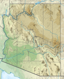
SOW is located in Arizona
SOW
SOW
SOW is located in the United States
SOW
SOW
Runways
Direction Length Surface
ft m
6/24 7,200 2,195 Asphalt
3/21 3,938 1,200 Asphalt
Statistics (2022)
Aircraft operations19,674
Based aircraft32

Show Low Regional Airport (IATA: SOW[2], ICAO: KSOW, FAA LID: SOW) is 2 miles (1.7 nmi; 3.2 km) east of Show Low, in Navajo County, Arizona, United States.[1] It is used for general aviation and commercial services provided by Southern Airways Express which is subsidized by the federal government's Essential Air Service program at a cost of $1,672,000(per year).[3] The National Plan of Integrated Airport Systems for 2011–2015 categorized it as a non-primary commercial service airport (between 2,500 and 10,000 enplanements per year).

  1. ^ a b FAA Airport Form 5010 for SOW PDF. Federal Aviation Administration. Effective November 15, 2012.
  2. ^ "IATA Airport Code Search (SOW: Show Low)". International Air Transport Association. Retrieved June 5, 2014.
  3. ^ "Essential Air Service Reports". U.S. Department of Transportation. Retrieved June 7, 2014.