Smithville, Ohio | |
|---|---|
 Former middle school, demolished in 2014 | |
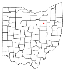
 Location of Smithville, Ohio | |
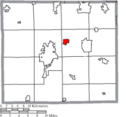
 Location of Smithville in Wayne County | |
| Coordinates: 40°51′45″N 81°51′37″W / 40.86250°N 81.86028°W | |
| Country | United States |
| State | Ohio |
| County | Wayne |
| Area | |
| • Total | 1.24 sq mi (3.22 km2) |
| • Land | 1.24 sq mi (3.20 km2) |
| • Water | 0.01 sq mi (0.01 km2) |
| Elevation | 1,073 ft (327 m) |
| Population (2020) | |
| • Total | 1,338 |
| • Density | 1,082.52/sq mi (417.98/km2) |
| Time zone | UTC-5 (Eastern (EST)) |
| • Summer (DST) | UTC-4 (EDT) |
| ZIP code | 44677 |
| Area code | 330 |
| FIPS code | 39-72788[3] |
| GNIS feature ID | 2399834[2] |
| Website | www |
Smithville is a village in Wayne County, Ohio, United States. The population was 1,338 at the time of the 2020 census. The village derives its name from Thomas Smith, a pioneer settler.[5]
- ^ "ArcGIS REST Services Directory". United States Census Bureau. Retrieved September 20, 2022.
- ^ a b U.S. Geological Survey Geographic Names Information System: Smithville, Ohio
- ^ "U.S. Census website". United States Census Bureau. Retrieved January 31, 2008.
- ^ "Elected Officials Council/BPA". Village of Smithville Official Website. Retrieved October 17, 2019.
- ^ Overman, William Daniel (1958). Ohio Town Names. Akron, OH: Atlantic Press. p. 127.