This article needs additional citations for verification. (May 2019) |
| Snowtown South Australia | |||||||||||||||
|---|---|---|---|---|---|---|---|---|---|---|---|---|---|---|---|
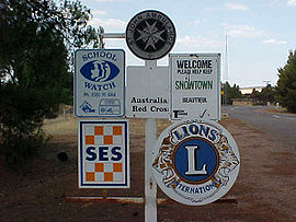
 South-western entrance to Snowtown | |||||||||||||||
| Coordinates | 33°47′0″S 138°12′0″E / 33.78333°S 138.20000°E | ||||||||||||||
| Population | 356 (UCL 2021)[1] | ||||||||||||||
| Established | 1878 | ||||||||||||||
| Postcode(s) | 5520 | ||||||||||||||
| Elevation | 103 m (338 ft) | ||||||||||||||
| Location | 145 km (90 mi) north of Adelaide | ||||||||||||||
| LGA(s) | Wakefield Regional Council | ||||||||||||||
| County | Daly | ||||||||||||||
| State electorate(s) | Narungga[2] | ||||||||||||||
| Federal division(s) | Grey | ||||||||||||||
| |||||||||||||||
| |||||||||||||||
Snowtown is a town located in the Mid North of South Australia 145 km (90 miles) north of Adelaide and lies on the main road and rail routes between Adelaide and Perth – the Augusta Highway and Adelaide-Port Augusta railway line. The town's elevation is 103 metres (338 feet) and on average the town receives 389 mm of rainfall per annum.
- ^ Australian Bureau of Statistics (28 June 2022). "Snowtown (urban centre and locality)". Australian Census 2021.
- ^ Narungga (Map). Electoral District Boundaries Commission. 2016. Retrieved 1 March 2018.
