Suhar International Airport مطار صحار الدولي | |||||||||||
|---|---|---|---|---|---|---|---|---|---|---|---|
| Summary | |||||||||||
| Airport type | Military/Public | ||||||||||
| Owner | Oman | ||||||||||
| Operator | Oman Airports Management Company S.A.O.C. | ||||||||||
| Serves | Suhar, Al Batinah Region, Oman | ||||||||||
| Elevation AMSL | 144 ft / 44 m | ||||||||||
| Coordinates | 24°23′10″N 56°37′32″E / 24.38611°N 56.62556°E | ||||||||||
| Website | https://www.suharairport.co.om | ||||||||||
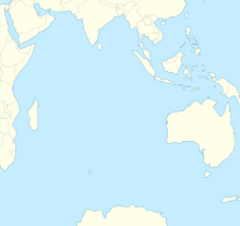
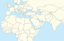
| Map | |||||||||||
 | |||||||||||
| Runways | |||||||||||
| |||||||||||
Sohar International Airport (IATA: OHS, ICAO: OOSH) is an international airport situated in the wilayat of Sohar in Al Batinah Region of Oman. Sohar is a coastal city on the Gulf of Oman.
The airport is 7 kilometres (4 mi) inland. The runway length does not include 120 metres (390 ft) displaced thresholds on both ends. The Fujairah VOR-DME (Ident: FJR) is located 45.5 nautical miles (84 km) north-northwest of the airport.[3]
- ^ Airport information for Sohar Airport at Great Circle Mapper.
- ^ "Sohar International Airport". Google Maps. Retrieved 30 January 2019.
- ^ "Fujairah VOR". Our Airports. Retrieved 30 January 2019.


