South Street Seaport | |
 South Street and Brooklyn Bridge (c. 1900) | |
| Location | Bounded by Burling (John St.) and Peck Slips, Water St. and East River in New York City, United States |
|---|---|
| Coordinates | 40°42′22″N 74°0′12″W / 40.70611°N 74.00333°W |
| Area | 3.5 acres (1.4 ha) |
| Architect | multiple |
| Architectural style | Greek Revival |
| NRHP reference No. | 72000883[1] |
South Street Seaport Historic District | |
| Location | Roughly bounded by East River, Brooklyn Bridge, Fletcher Alley, and Pearl and South Streets, Manhattan, New York City, United States |
| Area | 41 acres (17 ha) |
| Architectural style | Greek Revival, Romanesque |
| NRHP reference No. | 78001884[1] |
| Added to NRHP | December 12, 1978 |
| Added to NRHP | October 18, 1972 |
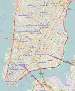
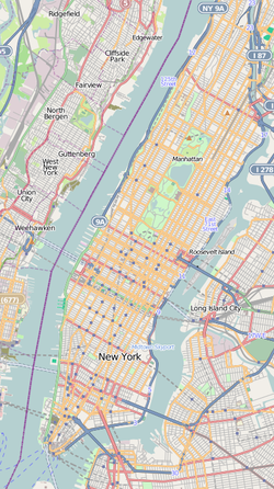
The South Street Seaport is a historic area in the New York City borough of Manhattan, centered where Fulton Street meets the East River, within the Financial District of Lower Manhattan. The Seaport is a designated historic district. It is part of Manhattan Community Board 1 in Lower Manhattan, and is next to the East River to the southeast and the Two Bridges neighborhood to the northeast.
The district features some of the oldest buildings in Lower Manhattan, and includes the largest concentration of restored early 19th-century commercial buildings in the city. This includes renovated original mercantile buildings, renovated sailing ships, the former Fulton Fish Market, and modern tourist malls featuring food, shopping, and nightlife.
- ^ a b "National Register Information System". National Register of Historic Places. National Park Service. March 13, 2009.


