| St. Bride's Radar Station | |
|---|---|
| Part of United States General Surveillance Radar | |
| Newfoundland | |
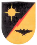
 Emblem of the 685th Air Warning Squadron | |
| Coordinates | 46°55′54.7″N 054°10′49.2″W / 46.931861°N 54.180333°W |
| Type | Radar Station |
| Code | Trio |
| Site information | |
| Controlled by | Newfoundland Base Command |
| Site history | |
| Built | 1942 |
| Built by | United States Army |
| In use | 1943-1945 |
| Garrison information | |
| Garrison | 685th Air Warning Company |
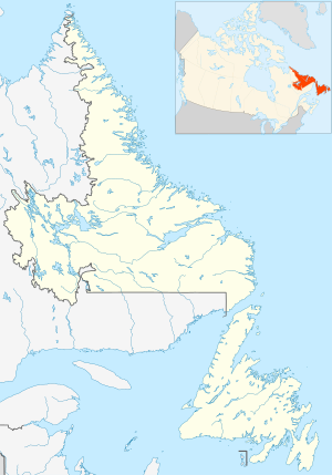
Location of St. Bride's Radar Station, Newfoundland
St. Bride's Radar Station was a United States Army General Surveillance Ground Radar Early Warning Station in the Dominion of Newfoundland.[1][2] It was built during World War II and responsible for monitoring air traffic from Naval Station Argentia to RCAF Torbay and into the Atlantic Ocean.[3] It was located in St. Bride's, 135 kilometres (84 mi) southwest of St. John's.[4] It was closed in 1945.
- ^ Cardoulis, John N (1990). A Friendly Invasion (The American Military in Newfoundland: 1940-1990). St John's: Breakwater Books Ltd. p. 25. ISBN 0-920911-85-4.
- ^ "Searching the Skies, The Legacy of the United States Cold War Defense Radar Program" (PDF).
- ^ Cuff, Robert (1981). Encyclopedia of Newfoundland and Labrador (PDF). St John's: Newfoundland Book Publishers (1967) Ltd. p. 14. ISBN 0920508146.
- ^ "The CADIN Pinetree Line Locations".

