Святой Нос / Hilmen Hushun | |
|---|---|
 Panorama of the mountains rising above the lakeshore in Svyatoy Nos | |
| Geography | |
| Coordinates | 53°41′N 108°51′E / 53.69°N 108.85°E |
| Adjacent to | Lake Baikal |
| Length | 56 km (34.8 mi) |
| Width | 20 km (12 mi) |
| Highest elevation | 1,878 m (6161 ft) |
| Highest point | Mount Markova[1] |
| Administration | |
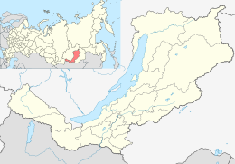
| Federal Subject | Buryatia |
Svyatoy Nos ('Holy Cape') is a large peninsula on the eastern edge of Lake Baikal, Eastern Siberia, in the Barguzinsky District of the Republic of Buryatia. It is part of the Zabaykalsky (Trans-Baikal) National Park.
The name "Svyatoy Nos" (Святой Нос) means 'Holy Cape' in Russian. Russian explorers in the 17th and 18th centuries used the word нос nos in the meaning 'cape' (metaphorically based on 'nose'). The name Svyatoy Nos originally referred to the southwestern cape of the peninsula (Мыс Нижнее Изголовье),[2] and a (now abandoned) village on that cape. Then the name passed on the whole territory of the peninsula.[3] In the Buryat language, the peninsula is called Hilmen Hushun, which means "sturgeon's muzzle."[1]
