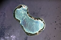
 NASA image of Tabuaeran in 2006, with the man-made 'English Channel' cut at left | |
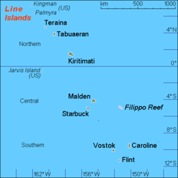
 Map of the Line Islands | |
| Geography | |
|---|---|
| Location | North Pacific Ocean |
| Coordinates | 3°51′36″N 159°21′52″W / 3.86000°N 159.36444°W |
| Archipelago | Line Islands |
| Area | 33.7 km2 (13.0 sq mi) |
| Highest elevation | 3 m (10 ft) |
| Administration | |
| Island council | Tabuaeran |
| Largest settlement | Tereitaki |
| Demographics | |
| Population | 1,990 (2020 census) |
| Pop. density | 68.7/km2 (177.9/sq mi) |
| Languages | Gilbertese |
| Ethnic groups | I-Kiribati |
| Additional information | |
| Time zone | |


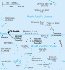
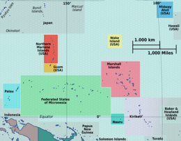
Tabuaeran, also known as Fanning Island,[1] is an atoll that is part of the Line Islands of the central Pacific Ocean and part of the island nation of Kiribati. The land area is 33.73 square kilometres (13.02 square miles), and the population in 2015 was 2,315.[2] The maximum elevation is about 3 m (10 ft) above high tide.
The lagoon has an area of 110 square kilometres (42 square miles). The deepest water in the lagoon is about 15 metres (49 feet), but most of it is very shallow.[2]
- ^ Both Gilbertese and English names are recognised by the Constitution of Kiribati
- ^ a b "21. Tabuaeran" (PDF). Office of Te Beretitent - Republic of Kiribati Island Report Series. 2012. Archived from the original (PDF) on 4 March 2016. Retrieved 28 April 2015.


