Takua Thung
ตะกั่วทุ่ง | |
|---|---|
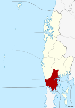
 District location in Phang Nga province | |
| Coordinates: 8°23′32″N 98°27′7″E / 8.39222°N 98.45194°E | |
| Country | Thailand |
| Province | Phang Nga |
| Area | |
| • Total | 610.8 km2 (235.8 sq mi) |
| Population (1 January 2004) | |
| • Total | 40,392 |
| • Density | 66.1/km2 (171/sq mi) |
| Time zone | UTC+7 (ICT) |
| Postal code | 82130 |
| Geocode | 8204 |
Takua Thung (Thai: ตะกั่วทุ่ง, pronounced [tā.kùa̯ tʰûŋ]) is a district (amphoe) in the Phang Nga province in the south of Thailand.[1]
- ^ "Takua Thung (District, Phang Nga, Thailand) - Population Statistics, Charts, Map and Location". citypopulation.de. Retrieved 2 February 2024.