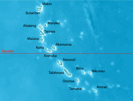
 Map of Tamana | |
 | |
| Geography | |
|---|---|
| Location | Pacific Ocean |
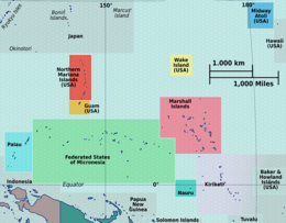
| Coordinates | 2°30′S 175°59′E / 2.500°S 175.983°E |
| Archipelago | Gilbert Islands |
| Administration | |
| Demographics | |
| Population | 1,054 (2020 Census) |
| Ethnic groups | I-Kiribati 100% |
Tamana (also Rotcher Island) is the smallest island in the Gilbert Islands. It is accessible both by boat and by air with Air Kiribati and Coral Sun Airways (once a week; Tamana Airport code: TMN). 1,054 people live in Tamana (2020 census).
Tamana is the second southernmost island in the Gilbert group and the smallest inhabited island in Kiribati. The island is approximately 6 km (4 mi) in length, 1 km (0.6 mi) at its widest point, and has a total land area of 4.73 km2 (1.83 sq mi).[1] Tamana is a reef island with no lagoon.
The Island Council is located at Bakaakaa, the central village of the island and this is also where the rest of the Government facilities are located such as the CB radio for inter-island communication, the hardware store, and the fuel depot. The schools (Primary and JSS) and the Medical facilities are also located in the same village.[1]
- ^ a b "17. Tamana" (PDF). Office of Te Beretitent - Republic of Kiribati Island Report Series. 2012. Retrieved 28 April 2015.


