تل صبي أبيض | |
 Excavations at Tell Sabi Abyad. | |
| Location | Syria |
|---|---|
| Region | Balikh River valley |
| Coordinates | 36°30′14″N 39°05′35″E / 36.504°N 39.093°E |
| Type | settlement |
| Area | 11 hectares (27 acres), 15–16 hectares (37–40 acres) (with city walls), 4 hectares (9.9 acres) (outer town) |
| Height | 2 metres (6 ft 7 in) |
| History | |
| Material | clay, limestone |
| Founded | c. 7550 BC |
| Abandoned | c. 1250 BC |
| Periods | Pre-Pottery Neolithic B, Neolithic, Transitional Neolithic-Halaf, Early Bronze Age-Halaf, Middle Assyrian period |
| Site notes | |
| Excavation dates | 2002–ongoing |
| Archaeologists | C. Castel, N. Awad, Peter Akkermans |
| Condition | ruins |
| Management | Directorate-General of Antiquities and Museums |
| Public access | Yes |
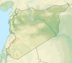
Tell Sabi Abyad (Arabic: تل صبي أبيض) is an archaeological site in the Balikh River valley in northern Syria. It lies about 2 kilometers south of Tell Hammam et-Turkman.The site consists of four prehistoric mounds that are numbered Tell Sabi Abyad I to IV. Extensive excavations showed that these sites were inhabited already around 7500 to 5500 BC, although not always at the same time; the settlement shifted back and forth among these four sites.[1]
The earliest pottery of Syria was discovered here; it dates at ca. 6900-6800 BC, and consists of mineral-tempered, and sometimes painted wares.
- ^ Fieldwork campaign: Tell Sabi Abyad (Syria) universiteitleiden.nl

