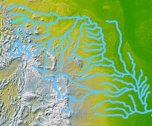
| Teton River | |
|---|---|
 | |
 The Teton River in Montana | |
| Location | |
| Country | Chouteau and Teton County, Montana |
| Physical characteristics | |
| Source | |
| • coordinates | 47°52′58″N 112°37′59″W / 47.88278°N 112.63306°W[1] |
| Mouth | |
• coordinates | 47°55′55″N 110°30′32″W / 47.93194°N 110.50889°W[1] |
• elevation | 2,562 feet (781 m)[1] |
| Discharge | |
| • location | Loma, Montana |
| • average | 66 cu/ft. per sec.[2] |
| Basin features | |
| River system | Missouri River |
The Teton River (pronounced "TEE-taan") is located in northwestern Montana, in the Western United States The ~ 150 miles (240 km) long river is a tributary of the Marias River. Its watershed is within Teton County and Chouteau County, Montana.