| Tyatya | |
|---|---|
| Chachadake | |
 Tyatya in 2010, viewed from the south-west | |
| Highest point | |
| Elevation | 1,822 m (5,978 ft)[1] |
| Prominence | 1,822 m (5,978 ft)[2] |
| Listing | Ultra |
| Coordinates | 44°21′3″N 146°15′23″E / 44.35083°N 146.25639°E[1] |
| Geography | |
| Geology | |
| Mountain type | Stratovolcano / somma volcano |
| Last eruption | June 1981[1] |
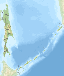
Tyatya (Russian: Тятя, also spelled Tiatia and known as Chachadake (爺爺岳) in Japanese) is a volcano located in the northeastern part of Kunashir Island, Kuril Islands, Russia. It is the highest peak on the island with an elevation of 1,819 metres (5,968 ft).[1] Tyatya is one of the finest examples anywhere in the world of a somma volcano, a stratovolcano whose summit has collapsed to form a caldera which has then been mostly refilled by a new, younger volcanic cone which rises above the caldera rim.[1]

- ^ a b c d e "Tiatia". Global Volcanism Program. Smithsonian Institution.
- ^ "Russia: Kamchatka and the Russian Pacific Islands" Peaklist.org. Retrieved 2013-03-23.
