Vailoatai | |
|---|---|
Village | |
 | |
| Etymology: Samoan: "le vai na le iloa"[1] | |
| Nickname: Tuālā | |
| Motto(s): Sā Le Fo’i
Village Colors: Green and Yellow/Gold | |
| Coordinates: 14°21′05″S 170°46′55″W / 14.35139°S 170.78194°W | |
| Country | |
| Territory | |
| Island | Tutuila Island |
| Named for | Samoan Mythology |
| Area | |
| • Land | .41 sq mi (1.1 km2) |
| Population (2020) | |
| • Total | 1,195 |
| Time zone | UTC−11 (Samoa Time Zone) |
| ZIP Code | 96799 |
| Area code | +1 684 |
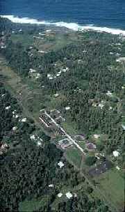
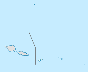
Vailoatai is a village in southwestern Tutuila, the main island of American Samoa. It is located on the eastern end of Leone Bay. The village is known for its beautiful malae (ceremonial village-green), nested along the island's rugged southern coast and lined by the fale tali mālō (guest houses) of its village chiefs.
The original name of the village was Tuāulu.[2] In 1926, Tuāulu and another village called Vailoa, combined to form the Vailoa-tai village.[3] Although the village is officially named Vailoatai according to the American Samoa Constitution,[4] "Vailoa-tai" really only refers to the area of village towards the sea ["tai" - the side towards the sea or seaside]. Other areas of the village include Vailoa-uta ["uta"- the side towards the land or inland] and Falīlī. Together, the village as a whole is commonly referred to as Vailoa.

Vailoatai along with Taputimu, Itū'au (Malaeloa) and Fūtiga form the itūmālō (county/district) of Tuālātai. The village serves as the county's principality as the titular head of the district (fa'asuaga) is located here.
- ^ Ua Tala le Ta'ui, Volume 2, page 16
- ^ Fai’ivae, Alex Godinet (2018). Ole Manuō o Tala Tu’u Ma Fisaga o Tala Ave. Amerika Samoa Humanities Council. ISBN 9781546229070.
- ^ Sixteenth Census of the United States: 1940
- ^ "2.0302 Districts".
