| Vashlovani National Park | |
|---|---|
 Vashlovani State Reserve. | |
| Location | |
| Coordinates | 41°12′N 46°23′E / 41.200°N 46.383°E |
| Area | 442.51 km2 (170.85 sq mi)[1] |
| Established | 1935 |
| Governing body | Agency of Protected Areas |
| Website | Vashlovani Protected Areas Administration |
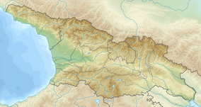
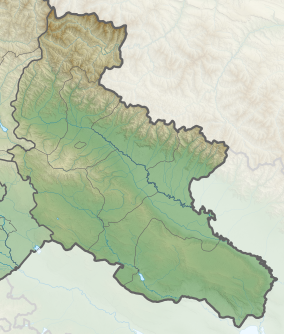
Vashlovani National Park (Georgian: ვაშლოვანის ეროვნული პარკი) is a national park located in the eastern part of Georgia, and was established in 1935 to preserve its unique shallow forests. In April 2003 the reserve's area was expanded to 84.80 km2 (32.74 sq mi) and Vashlovani National Park (251.14 km2 (96.97 sq mi)) was made.[1]
The area is characterized by its dry climate sitting only 150–50 meters (490–160 ft) above sea level.
Vashlovani State Reserve is notable for its unique, badland-like areas of desert and semi-desert steppe vegetation and arid and deciduous forests. It is also home to the great canyon cliffs, known in the area as the "Sharp Walls", and the magnificent Alazani flood plains and forests.
- ^ a b Vashlovani in Georgia Protected Planet

