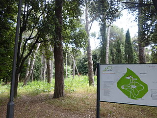
| Villa Glori | |
|---|---|
 | |
 | |
| Location | Rome (Italy) |
| Coordinates | 41°55′51″N 12°28′50″E / 41.93083°N 12.48056°E |
| Area | 25 hectares (62 acres) |
| Created | 1924 |
Villa Glori is a 25-hectare (62-acre) city park in Rome, Italy, within the Municipio II and the quarter Parioli. It is also called Parco della Rimembranza (Italian for Park of Remembrance).
The park occupies a roughly quadrangular cliff – which is in fact the north-west end of the Monti Parioli – looking steeply towards the Tiber in the area of Acqua Acetosa and overhanging the Olympic Village and the Parco della Musica. It can be accessed from Piazzale del Parco della Rimembranza and Via Maresciallo Pilsudski.