| Walnut Grove Dam | |
|---|---|
 Walnut Grove dam before its collapse | |
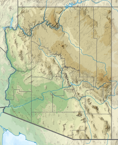
| Location | Yavapai County, Arizona, U.S. |
| Coordinates | 34°11′35.0″N 112°32′29.7″W / 34.193056°N 112.541583°W |
| Purpose | Mining, water storage |
| Status | Failed |
| Construction began | 1886 |
| Opening date | 1888 |
| Demolition date | 1890 |
| Construction cost | $300,000 ($9.29 million in 2023 dollars[1]) |
| Owner(s) | Walnut Grove Water Storage Company |
| Dam and spillways | |
| Type of dam | Rock fill |
| Impounds | Hassayampa River |
| Height | 110 ft (34 m) |
| Length | 400 ft (120 m) |
| Width (crest) | 10 ft (3.0 m) |
| Width (base) | 138 ft (42 m) |
| Dam volume | 4,000,000,000 US gal (1.5×10¹⁰ L) |
| Spillway type | Channel |
| Spillway capacity | 2,200 cu ft/s (62 m3/s) |
| Reservoir | |
| Surface area | 1,120 acres (4.5 km2) |
The Walnut Grove Dam was built north of Wickenburg, Arizona, United States, along the Hassayampa River. Its failure in 1890 killed over 100 people. Its construction from 1886 to 1888 was chiefly on the impetus of the Bates family, whose mismanagement of the project was considerable. Intended to be used for gold mining, the dam failed before it could be put to use.
- ^ Johnston, Louis; Williamson, Samuel H. (2023). "What Was the U.S. GDP Then?". MeasuringWorth. Retrieved November 30, 2023. United States Gross Domestic Product deflator figures follow the MeasuringWorth series.

