| Wandope | |
|---|---|
 Whiteless Edge & Wandope from Whiteless Pike | |
| Highest point | |
| Elevation | 772 m (2,533 ft) |
| Prominence | c. 30 m (100 ft) |
| Parent peak | Crag Hill |
| Listing | Wainwright, Hewitt, Nuttall |
| Coordinates | 54°33′58″N 3°15′26″W / 54.56598°N 3.25736°W |
| Geography | |
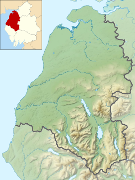
Location in the Lake District National Park | |
| Location | Cumbria, England |
| Parent range | Lake District, North Western Fells |
| OS grid | NY188197 |
| Topo map | OS Landranger 89, Explorer OL4 |
Wandope (also known as Wanlope[1] is a fell in the north-western area of the English Lake District. It lies to the east of Crummock Water and south of Crag Hill. From the summit there are excellent panoramas of the Sca Fell and High Stile ranges.
- ^ Alfred Wainwright: A Pictorial Guide to the Lakeland Fells, Book 6, The North Western Fells: Westmorland Gazette (1964): ISBN 0-7112-2459-5

