| Wapusk National Park | |
|---|---|
 Cape Churchill in summertime | |
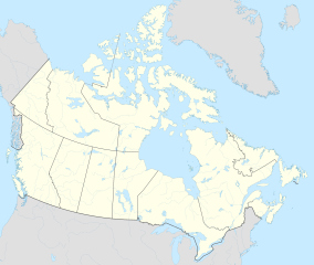
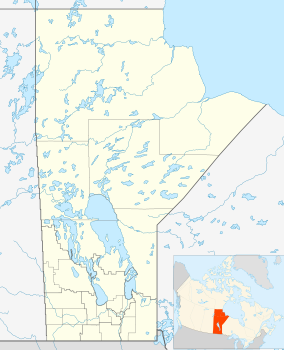
Location of Wapusk National Park in Canada | |
| Location | Manitoba, Canada |
| Nearest city | Churchill |
| Coordinates | 57°46′26″N 93°22′17″W / 57.77389°N 93.37139°W |
| Area | 11,475 km2 (4,431 sq mi) |
| Established | 1996 |
| Visitors | 82 (in 2022–23[1]) |
| Governing body | Parks Canada |
| Website | Wapusk National Park |
Wapusk National Park (/wəˈpʌsk/)[2] is Canada's 37th national park, established in 1996. The name comes from the Cree word for polar bear (wâpask).[3]
Located on the shores of Hudson Bay in the Hudson Plains ecozone 45 kilometres (28 mi) south of Churchill, its accessibility is limited due to its remote location and an effort to preserve the park. The park is home to Cape Churchill, which is renowned as the best location in the world to view and photograph wild polar bears. Cape Churchill is only accessible by helicopter or Tundra Buggy.
The park was the subject of a short film in 2011's National Parks Project, directed by Hubert Davis and scored by Kathleen Edwards, Matt Mays and Sam Roberts.[4]
- ^ Canada, Parks. "Parks Canada attendance 2022_23 - Parks Canada attendance 2022_23 - Open Government Portal". open.canada.ca. Retrieved 2024-05-07.
- ^ Parks Canada (2017-07-26). Parks Can Can Canada 2017. Archived from the original on 2021-12-13. Retrieved 2019-05-19.
- ^ "Search Results for: wâpask". Online Cree Dictionary. Retrieved 2012-07-08.
- ^ Parks Canada Agency, Government of Canada (14 September 2011). "Music and Film - Inspired by Wapusk - Wapusk National Park". pc.gc.ca. Retrieved 28 April 2020.


