West Cape Howe | |
|---|---|
 View of West Cape Howe taken during ISS Expedition 16 in 2008 | |
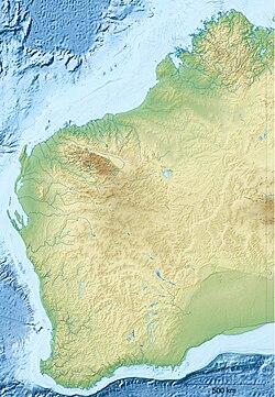
Location in Western Australia | |
| Coordinates: 35°08′S 117°38′E / 35.133°S 117.633°E | |
| Location | Australia |
West Cape Howe is a coastal headland near Albany, Western Australia that forms the westernmost extent of the Great Australian Bight,[1] and is therefore the southernmost point in Western Australia and in all of Australia west of the 136th meridian east.
Torbay Head, located within West Cape Howe, is the southernmost point in Western Australia.[2]
The cape is located within the locality of West Cape Howe and the West Cape Howe National Park.[3][4]
- ^ International Hydrographic Organization (1953). Limits of Oceans and Seas (Special Publication No. 23) (PDF) (3rd ed.). Monte Carlo, Monaco. pp. 35–36. Archived from the original (e-published as PDF) on 8 October 2011. Retrieved 29 December 2020.
{{cite book}}: CS1 maint: location missing publisher (link) - ^ "Torbay Head". exploreparks.dbca.wa.gov.au. Government of Western Australia. Retrieved 21 October 2024.
- ^ "SLIP Map". maps.slip.wa.gov.au. Landgate. Retrieved 21 October 2024.
- ^ "NationalMap". nationalmap.gov.au. Geoscience Australia. Retrieved 21 October 2024.

