| Whataroa River | |
|---|---|
 Whataroa River flowing out to the Tasman Sea | |
| Native name | Whataroa (Māori) |
| Location | |
| District | Westland District |
| Region | West Coast Region |
| Country | New Zealand |
| Physical characteristics | |
| Mouth | |
• location | Tasman Sea |
• coordinates | 43°07′S 170°15′E / 43.117°S 170.250°E |
| Basin features | |
| Tributaries | |
| • left | Butler River, Perth River |
| • right | Gunn River |


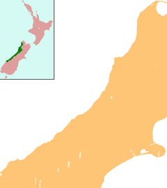
The Whataroa River, sometimes the Wataroa River, is a river in the southern West Coast region of New Zealand's South Island.[1] Its source is in the Southern Alps and it flows north and northwest, passing the township of Whataroa on the eastern side before reaching the Tasman Sea just south of Abut Head. The river is fed by many tributaries, such as the Perth River,[1] and is crossed by State Highway 6 on its route between Whataroa and Te Taho.
- ^ a b "New-Zealand-Whitewater-Rafting-Whataroa-River". Splash White Water Rafting. Retrieved 31 May 2021.
