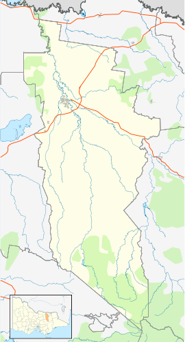
| Whitfield Victoria | |||||||||
|---|---|---|---|---|---|---|---|---|---|
 Main street prior to the 2023 upgrades | |||||||||
| Coordinates | 36°46′S 146°25′E / 36.767°S 146.417°E | ||||||||
| Population | 220 (2021 census)[1] | ||||||||
| Postcode(s) | 3733 | ||||||||
| Elevation | 253 m (830 ft) | ||||||||
| Location |
| ||||||||
| LGA(s) | Rural City of Wangaratta | ||||||||
| State electorate(s) | Ovens Valley | ||||||||
| Federal division(s) | Indi | ||||||||
| |||||||||
Whitfield is an agricultural township in the King Valley in north-eastern Victoria.
- ^ "2021 Census QuickStats Whitfield (Vic.)". Australian Bureau of Statistics.
- ^ theage.com.au travel: Whitfield
