Whitpain Township | |
|---|---|
 | |
 Location of Pennsylvania in the United States | |
| Coordinates: 40°09′21″N 75°17′02″W / 40.15583°N 75.28389°W | |
| Country | United States |
| State | Pennsylvania |
| County | Montgomery |
| Area | |
| • Total | 12.86 sq mi (33.3 km2) |
| • Land | 12.85 sq mi (33.3 km2) |
| • Water | 0.01 sq mi (0.03 km2) |
| Elevation | 259 ft (79 m) |
| Population (2010) | |
| • Total | 18,875 |
| • Estimate (2016)[2] | 19,308 |
| • Density | 1,500/sq mi (570/km2) |
| Time zone | UTC-5 (EST) |
| • Summer (DST) | UTC-4 (EDT) |
| Area code(s) | 610, 484 |
| FIPS code | 42-091-84888 |
| Website | www |
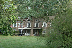
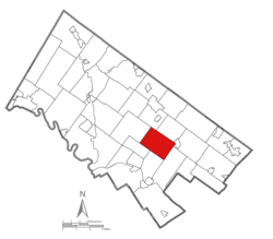
Whitpain Township is a township in Montgomery County, Pennsylvania, United States. Founded in 1701, it has grown to a total population of 18,875 as of the 2010 census.
- ^ "2016 U.S. Gazetteer Files". United States Census Bureau. Retrieved August 14, 2017.
- ^ "Population and Housing Unit Estimates". Retrieved June 9, 2017.

