| Zarafshan Range | |
|---|---|
 Part of the Zarafshan Range seen from Anzob Pass | |
| Highest point | |
| Peak | Chimtarga Peak |
| Elevation | 5,489 m (18,009 ft) |
| Coordinates | 39°20′N 69°40′E / 39.333°N 69.667°E |
| Dimensions | |
| Length | 230 mi (370 km) East–West |
| Naming | |
| Native name | |
| Geography | |
| Countries | Tajikistan and Uzbekistan |
| Parent range | Pamir-Alay |
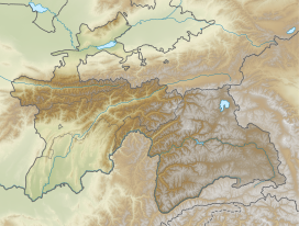
The Zarafshan Range,[a] formerly the Zeravshan Range,[b] is a mountain range in Tajikistan and Uzbekistan, part of the Pamir-Alay mountains.[1] Almost all of the range belongs to the drainage basins of the Zarafshan River.
The Persian name is believed to possibly be a reference to gold found in bed of the Zarafshan River and its tributaries, which has ushered prosperity to the region from ancient times.[2]
Cite error: There are <ref group=lower-alpha> tags or {{efn}} templates on this page, but the references will not show without a {{reflist|group=lower-alpha}} template or {{notelist}} template (see the help page).
- ^ a b Soucek, Svat (17 February 2000). A History of Inner Asia. Cambridge University Press. pp. 4–. ISBN 978-0-521-65704-4.
- ^ Henry Lansdell (1885). Russian Central Asia: Including Kuldja, Bokhara, Khiva and Merv. Sampson Low, Marston, Searle and Rivington. pp. 534–.
