| Zhiguli | |
|---|---|
 View to Zhiguli from the Volga River | |
| Highest point | |
| Peak | Nablyudatel |
| Elevation | 381.2 m (1,251 ft) |
| Dimensions | |
| Length | 60 km (37 mi) |
| Width | 32 km (20 mi) |
| Geography | |
| Country | Russia |
| Region | Samara Oblast |
| Range coordinates | 53°25′N 49°30′E / 53.417°N 49.500°E |
| Parent range | Volga Upland |
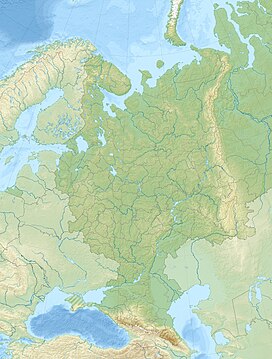
The Zhiguli Mountains (Russian: Жигулëвские горы) or simply Zhiguli (Russian: Жигули́, IPA: [ʐɨɡʊˈlʲi]), are a range of wooded mountains located in Russia on the right bank of the Volga River, inside the Samara bend. The mountains are an important source of limestone and oil (extracted since World War II) and are also popular as a scenic area for local and regional tourism. Their altitude reaches a maximum of c. 1,240 ft (380 m). The range is named for a nearby town Zhigulyovka (no longer extant), itself probably named for an early inhabitant, Zhegul (Russian: Жегуль).[1] Formerly, the range was known as the Lada, after the river pirate boats (ладья) who used to hide out in its wooded valleys, a name which is still in popular local usage today.
- ^ E.M. Pospelov, Geograficheskie nazvaniya mira (Moscow, 1998), p. 155.

