Native name: 舟山岛 | |
|---|---|
| Geography | |
| Location | East China Sea |
| Coordinates | 30°03′28″N 122°08′17″E / 30.05778°N 122.13806°E |
| Archipelago | Zhoushan Islands |
| Area | 502.65 km2 (194.07 sq mi) |
| Length | 44 km (27.3 mi) |
| Width | 18 km (11.2 mi) |
| Highest elevation | 503.6 m (1652.2 ft) |
| Administration | |
China | |
| Province | Zhejiang Province |
| Demographics | |
| Population | 502,667 |
| Pop. density | 875.36/km2 (2267.17/sq mi) |
| Zhoushan Island | |||||||||||||
|---|---|---|---|---|---|---|---|---|---|---|---|---|---|
| Simplified Chinese | 舟山岛 | ||||||||||||
| Postal | Chusan Island | ||||||||||||
| |||||||||||||
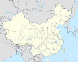
Zhoushan Island is the principal and namesake island in the Zhoushan Islands, formerly romanized as the Chusan Islands, an archipelago administered by Zhoushan Prefecture in Zhejiang Province in the People's Republic of China. It is the province's largest island and 3rd-largest in mainland China after Hainan and Chongming. The island is the district seat of both Dinghai and Putuo. The island was the site of the first and second capture of Chusan during the First Opium War.
When referred to as a port, the Port of Zhoushan (舟山市) refers to the prefecture-level "city" consisting of Zhoushan island as well as the other nearby outlying islands, in Zhejiang. The former name of Zhoushan was Dinghai (Chinese: 定海). The Port of Zhoushan is a popular port for bulk carriers.[1]
- ^ Admiralty Sailing Directions - China Sea and Yellow Sea. Taunton, United Kingdom: UK Hydrographic Office. 2011.


