| Aratiba | ||||
 Héraldique |
 |
|||
| Administration | ||||
|---|---|---|---|---|
| Pays | ||||
| Région | Sud | |||
| État | ||||
| Langue(s) | portugais | |||
| Maire | Luiz Ângelo Poletto (PTB) | |||
| Code postal | 99 770-000 | |||
| Fuseau horaireHeure d'été | UTC-3UTC-2 | |||
| Indicatif | 54 | |||
| Démographie | ||||
| Gentilé | aratibense | |||
| Population | 6 616 hab.[1] (01-04-2007) | |||
| Densité | 19 hab./km2 | |||
| Géographie | ||||
| Coordonnées | 27° 23′ 40″ sud, 52° 18′ 02″ ouest | |||
| Altitude | 420 m |
|||
| Superficie | 34 100 ha = 341 km2 | |||
| Divers | ||||
| Site(s) touristique(s) | Lieux religieux | |||
| FondateurDate de fondation | Loi n° 2 7104 octobre 1955 | |||
| Localisation | ||||
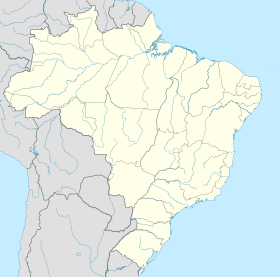
| Géolocalisation sur la carte : Brésil
Géolocalisation sur la carte : Brésil
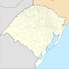
Géolocalisation sur la carte : Rio Grande do Sul
| ||||
| Liens | ||||
| Site web | http://www.aratiba.rs.gov.br/portal1/intro.asp?iIdMun=100143018 | |||
| modifier |
||||
Aratiba est une ville brésilienne du nord-ouest de l'État du Rio Grande do Sul.


