| Ashland | ||||

| ||||
| Administration | ||||
|---|---|---|---|---|
| Pays | ||||
| État | ||||
| Comté | Boyd | |||
| Maire | Tom Kelley | |||
| Démographie | ||||
| Population | 21 981 hab. (2000) | |||
| Densité | 696 hab./km2 | |||
| Géographie | ||||
| Coordonnées | 38° 27′ 50″ nord, 82° 38′ 30″ ouest | |||
| Superficie | 3 160 ha = 31,6 km2 | |||
| · dont terre | 28,7 km2 (90,82 %) | |||
| · dont eau | 2,9 km2 (9,18 %) | |||
| Fuseau horaire | EST (UTC-5) | |||
| Divers | ||||
| Fondation | 1786 | |||
| Municipalité depuis | 1854 | |||
| Localisation | ||||
 Carte du comté de Boyd. | ||||
| Géolocalisation sur la carte : États-Unis
Géolocalisation sur la carte : États-Unis
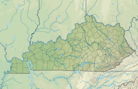
Géolocalisation sur la carte : Kentucky
| ||||
| Liens | ||||
| Site web | http://www.ashlandky.org | |||
| modifier |
||||
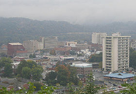
Ashland est une ville du comté de Boyd, dans le nord-est de l'État du Kentucky, aux États-Unis.
Elle est située le long de la rivière Ohio. Selon le recensement de 2000, sa population était de 21 981 habitants. Ashland est l'un des plus grands centres économiques et médicaux du nord-est du Kentucky.


