| Fellhorn | |||||
 Le Fellhorn en hiver. | |||||
| Géographie | |||||
|---|---|---|---|---|---|
| Altitude | 2 037 m[1],[2] | ||||
| Massif | Alpes d'Allgäu (Alpes) | ||||
| Coordonnées | 47° 21′ 02″ nord, 10° 13′ 03″ est[1],[2] | ||||
| Administration | |||||
| Pays | |||||
| Land allemand Land autrichien |
Bavière Vorarlberg |
||||
| District allemand District autrichien |
Souabe Bregenz |
||||
| Ascension | |||||
| Voie la plus facile | par le Fellhornbahn (téléphérique) | ||||
| Géolocalisation sur la carte : Allemagne
Géolocalisation sur la carte : Autriche
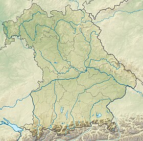
Géolocalisation sur la carte : Bavière
Géolocalisation sur la carte : Vorarlberg
| |||||
| modifier |
|||||
Le Fellhorn est un sommet des Alpes, à 2 037 m d'altitude, dans les Alpes d'Allgäu, et en particulier dans les montagnes au sud-est de la Walsertal, entre l'Autriche (Vorarlberg) et l'Allemagne (Bavière).
- Fellhorn sur Bayerische Vermessungsverwaltung.
- Visualisation sur BEV.


