| Idar-Oberstein | |||

| |||
 Armoiries |
|||
| Administration | |||
|---|---|---|---|
| Pays | |||
| Land | |||
| Arrondissement (Landkreis) |
Birkenfeld | ||
| Nombre de quartiers (Ortsteile) |
13 | ||
| Bourgmestre (Oberbürgermeister) |
Frank Frühauf | ||
| Partis au pouvoir | CDU | ||
| Code postal | 55743 | ||
| Code communal (Gemeindeschlüssel) |
07 1 34 045 | ||
| Indicatif téléphonique | 06781-06784 | ||
| Immatriculation | BIR | ||
| Démographie | |||
| Population | 29 158 hab. () | ||
| Densité | 318 hab./km2 | ||
| Géographie | |||
| Coordonnées | 49° 42′ 07″ nord, 7° 19′ 31″ est | ||
| Altitude | 272 m Min. 200 m Max. 450 m |
||
| Superficie | 9 156 ha = 91,56 km2 | ||
| Localisation | |||
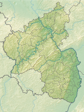
| Géolocalisation sur la carte : Allemagne
Géolocalisation sur la carte : Rhénanie-Palatinat
| |||
| Liens | |||
| Site web | www.idar-oberstein.de | ||
| modifier |
|||
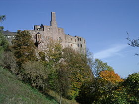
Idar-Oberstein est une ville du district de Birkenfeld, en Rhénanie-Palatinat. La ville sans association est le résultat de réformes administratives et structurelles approfondies des années 1933, 1969 et 1970. La ville de pierres précieuses et de garnison compte près de 30 000 habitants, la municipalité la plus peuplée du district et un centre. Depuis 2016, la municipalité s'intitule village du parc national.

