'Akbara
عكبرة | |
|---|---|
Village | |
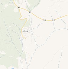
 Modern village of Akbara | |
| Etymology: possibly from male jerboa[1] | |
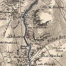
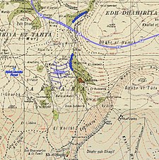
A series of historical maps of the area around 'Akbara (click the buttons) | |
Location within Mandatory Palestine | |
| Coordinates: 32°56′22″N 35°29′58″E / 32.93944°N 35.49944°E | |
| Palestine grid | 197/260 |
| Geopolitical entity | Mandatory Palestine |
| Subdistrict | Safad |
| Date of depopulation | 10 May 1948[2] |
| Area | |
| • Total | 3,224 dunams (3.224 km2 or 1.245 sq mi) |
| Population | |
| • Total | 390 |
| Cause(s) of depopulation | Military assault by Yishuv forces |
'Akbara (Arabic: عكبرة) is an Arab village in the Israeli municipality of Safed, which included in 2010 more than 200 families.[5] It is 2.5 km south of Safed City. The village was rebuilt in 1977, close to the old village destroyed in 1948 during the 1947–1949 Palestine war.


