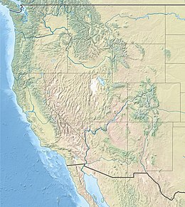
 | |
| UTC time | 1983-10-28 14:06:09 |
|---|---|
| ISC event | 567352 |
| USGS-ANSS | ComCat |
| Local date | October 28, 1983 |
| Local time | 08:06 MDT[1] |
| Magnitude | 6.9 Mw[1] |
| Depth | 16 km (9.9 mi)[2] |
| Epicenter | 44°05′N 113°48′W / 44.08°N 113.8°W[2] |
| Fault | Lost River Fault[3] |
| Type | Normal[3] |
| Areas affected | Central Idaho United States |
| Total damage | $12.5 million[4] |
| Max. intensity | MMI IX (Violent)[4] |
| Landslides | Yes |
| Aftershocks | 5.6 Mw Oct 28 at 19:51 UTC[2] 5.5 Mw Oct 29 at 23:29 UTC[2] |
| Casualties | 2 killed, three injured[2] |
The 1983 Borah Peak earthquake occurred on October 28, at 8:06:09 a.m. MDT in the western United States, in the Lost River Range at Borah Peak in central Idaho.[5][6][7]
The shock measured 6.9 on the moment magnitude scale and had a maximum Mercalli intensity of IX (Violent). It was the most violent earthquake in the lower 48 states in over 24 years, since the 1959 Hebgen Lake earthquake in nearby southwestern Montana.[8]
- ^ a b Cite error: The named reference
ISC-GEMwas invoked but never defined (see the help page). - ^ a b c d e Cite error: The named reference
PAGER-CATwas invoked but never defined (see the help page). - ^ a b Cite error: The named reference
Yeatswas invoked but never defined (see the help page). - ^ a b Cite error: The named reference
Stoverwas invoked but never defined (see the help page). - ^ "Idaho quake measures 6.9, two killed". Spokane Chronicle. (Washington). wire reports. October 28, 1983. p. 1.
- ^ "Quake jolts 8 states, kills 2 children". Eugene Register-Guard. (Oregon). (Los Angeles Times). October 29, 1983. p. 1A.
- ^ Sher, Tom (October 29, 1983). "Killer quake rocks Northwest". Spokesman-Review. (Spokane, Washington). p. 1.
- ^ "Two Children Die As Quake Hits Northwest And Canada". The New York Times. Associated Press. 29 October 1983. Retrieved 2018-11-12.

