 | |
| UTC time | 1987-03-02 01:42:34 |
|---|---|
| ISC event | 470420 |
| USGS-ANSS | ComCat |
| Local date | 2 March 1987 |
| Local time | 1:42 pm NZDT (UTC+13) |
| Magnitude | 6.5 Mw |
| Depth | 8 kilometres (5 mi) |
| Epicentre | 37°53′S 176°50′E / 37.88°S 176.84°E |
| Type | Normal[1] |
| Areas affected | New Zealand |
| Max. intensity | MMI X (Extreme)[2] |
| Peak acceleration | 0.33 g[2] |
| Tsunami | None |
| Casualties | 1 dead (indirect), 25 injured[2] |
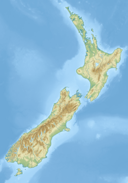
The 1987 Edgecumbe earthquake measured 6.5 on the moment magnitude scale and struck the Bay of Plenty region of New Zealand at 1.42 pm on 2 March.[3] The hypocentre was at a shallow depth of 8 km. The epicentre was 2.24 kilometres (1.39 mi) south-south-east of the town of Matata, and 15 kilometres (9.3 mi) north-north-west of Edgecumbe, on the Rangitaiki Plains (the floodplain of the Rangitaiki River, the Tarawera River and the Whakatāne River). It was the most damaging earthquake New Zealand had experienced since the 1968 Inangahua earthquake.[3][4]
- ^ Cite error: The named reference
yeatswas invoked but never defined (see the help page). - ^ a b c "M 6.5 – 6 km WNW of Edgecumbe, New Zealand". United States Geological Survey–ANSS. Retrieved 22 August 2021.
- ^ a b "M 6.5, Edgecumbe, 2 March 1987". GeoNet. Retrieved 8 April 2017.
- ^ Cite error: The named reference
TeArawas invoked but never defined (see the help page).

