| A29 | |
|---|---|
 | |
| Route information | |
| Length | 90.5 mi (145.6 km) |
| Major junctions | |
| North end | Portrush |
| South end | The border between Silverbridge and Dundalk |
| Location | |
| Country | United Kingdom |
| Constituent country | Northern Ireland |
| Primary destinations | Portrush Coleraine Garvagh Swatragh Maghera Tobermore Desertmartin Moneymore Cookstown Dungannon Moy Charlemont Armagh Keady Newtownhamilton Silverbridge Dundalk |
| Road network | |
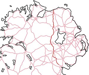
55°11′56″N 6°39′14″W / 55.199°N 6.654°W The A29 is a major road in Northern Ireland; it is mostly a single carriageway and goes through a number of main towns and connects in several places to other major roads.[1]
- ^ "A29 Cookstown Bypass – overview | Department for Infrastructure". Infrastructure. 25 June 2015. Retrieved 15 March 2019.
