| A345 | |
|---|---|
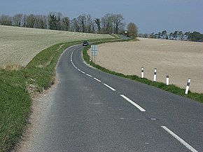
 Near Upavon, crossing chalky farmland | |
| Route information | |
| Length | 27 mi (43 km) |
| Major junctions | |
| south end | Salisbury 51°04′35″N 1°47′50″W / 51.0763°N 1.7971°W |
| north end | Marlborough 51°25′02″N 1°44′05″W / 51.4173°N 1.7346°W |
| Location | |
| Country | United Kingdom |
| Constituent country | England |
| Primary destinations | Salisbury |
| Road network | |
The A345 is a secondary A road in Wiltshire, England running from Salisbury to Marlborough and the A4. The road is a main south–north link across Salisbury Plain, which is renowned for its rich archaeology, and passes many ancient points of interest along its way.
