| A6055 | |
|---|---|
 | |
| Route information | |
| Length | 25 mi (40 km) |
| Major junctions | |
| Southwest end | Knaresborough |
| North end | Barton, North Yorkshire |
| Location | |
| Country | United Kingdom |
| Primary destinations | Boroughbridge Minskip Ferrensby Leeming Bar Catterick Bridge Scotch Corner |
| Road network | |
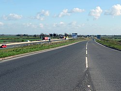
The A6055 is a 25-mile (40 km) stretch of road in North Yorkshire that runs from Knaresborough to Boroughbridge, with a break, then starts up again at Junction 50 of the A1(M) to run parallel with A1(M) acting as a Local Access Road (LAR) going between Junction 50 and 56 at Barton. Responsibility for the route rests with the Highways Agency, as it is designated as a primary route associated with the A1(M) upgrade.[1]
- ^ "THE A6055 TRUNK ROAD (A1(M) JUNCTION 51, LEEMING INTERCHANGE) (TRUNKING) ORDER". The London Gazette. Retrieved 2 May 2017.
