| Agawa Canyon | |
|---|---|
 The Agawa Canyon Wilderness Park | |
| Floor elevation | 316 m (1,037 ft) |
| Long-axis direction | North-south |
| Depth | 175.2 metres (575 ft) |
| Geology | |
| Type | Geologic fault expanded by erosion |
| Geography | |
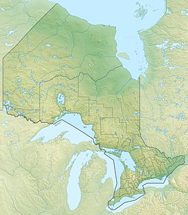
| Location | Algoma District, Ontario, Canada |
| Coordinates | 47°27′20″N 84°29′22″W / 47.45556°N 84.48944°W [1] |
| Topo map | NTS 41N8 Grey Owl Lake |
| Traversed by | Algoma Central Railway |
| Rivers | Agawa River |
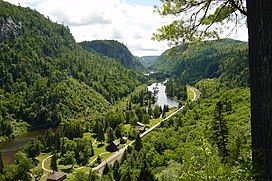
The Agawa Canyon is a shallow canyon located deep in the sparsely populated Algoma District in Northeastern Ontario, Canada.[1] It was created 1.2 billion years ago by faulting along the Canadian Shield and then enlarged by the erosive action of the Agawa River. The Agawa Canyon Wilderness Park is only accessible by hiking trail or the Agawa Canyon station on the Algoma Central Railway, and is located 114 miles (183 km) by rail north west of Sault Ste. Marie.
- ^ a b "Agawa Canyon". Geographical Names Data Base. Natural Resources Canada. Retrieved 2015-03-26.
