Aglandjia
| |
|---|---|
 Alsos Akadimias National Forest | |
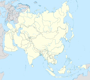
Location within Cyprus Location within the Eastern Mediterranean Location within the European Union Location within Asia | |
| Coordinates: 35°08′45″N 33°23′25″E / 35.14592°N 33.390169°E | |
| Country | |
| District | Nicosia District |
| Urban area | Nicosia |
| Area | |
| 21.37 km2 (8.25 sq mi) | |
| Population (2011)[2] | |
| 20,783 | |
| • Density | 970/km2 (2,500/sq mi) |
| Time zone | UTC+2 (EET) |
| • Summer (DST) | UTC+3 (EEST) |
| Postal code | 4700 |
| Website | http://www.aglantzia.org.cy |

Aglandjia (Greek: Αγλαντζιά [locally [aɣlaˈnd͡ʒa]]; Turkish: eğlence) is a suburb and municipality of Nicosia, Cyprus. The municipality has a population of 20,783 (2011) and is contiguous with the Nicosia Municipality.
Aglandjia is near the buffer zone. It has an area of about 31 km2, of which 14 km2 is agricultural land that has been occupied by the Turkish army since 1974; of the remaining 17 km2, 9 km2 are national forest parks (Athalassa park, 8.6 km2 and Pedagogical Academy park 0.4 km2).
- ^ "Cyprus: Nicosia Urban Agglomeration (Municipalities, Communities and Quarters) - Population Statistics, Charts and Map". www.citypopulation.de. Retrieved 4 October 2024.
- ^ "C1. Popuolation Enumerated by Sex, Age, District, Municipality/Community and Quarter (1.10.2011)", Population - Place of Residence, 2011, Statistical Service of the Republic of Cyprus, 17 April 2014, archived from the original on 20 April 2014, retrieved 20 April 2014


