| Aguamilpa Dam | |
|---|---|
| Official name | Presa Aguamilpa |
| Country | Mexico |
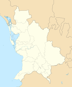
| Location | Tepic Municipality |
| Coordinates | 21°50′22″N 104°48′10″W / 21.83944°N 104.80278°W |
| Purpose | Power |
| Status | Operational |
| Construction began | 1989 |
| Opening date | 1993 |
| Construction cost | USD$967 million |
| Owner(s) | Federal Electricity Commission |
| Dam and spillways | |
| Type of dam | Embankment, concrete-face rock-fill |
| Height | 187 m (614 ft) |
| Length | 660 m (2,165 ft) |
| Elevation at crest | 260 m (853 ft) |
| Dam volume | 14,000,000 m3 (18,311,309 cu yd) |
| Reservoir | |
| Total capacity | 6,950,000,000 m3 (5,634,457 acre⋅ft) |
| Catchment area | 73,800 km2 (28,494 sq mi) |
| Surface area | 127 km2 (49 sq mi)[1] |
| Power Station | |
| Commission date | 1994 |
| Type | Conventional |
| Turbines | 3 x 320 MW Francis-type |
| Installed capacity | 960 MW |
| Annual generation | 2,131 GWh |
The Aguamilpa Dam is an embankment dam on the Río Grande de Santiago in the Mexican state of Nayarit, 38 km (24 mi) northeast of Tepic. The primary purpose of the dam is hydroelectric power generation and it supplies a 960 MW power station with water. Construction on the dam began in 1989 and it was completed in 1993 while the power station became operational in 1994.
- ^ "Lake Profile: Aguamilpa". LakeNet. Retrieved 21 June 2011.

