Aira
姶良市 | |
|---|---|
 Aira City Hall | |
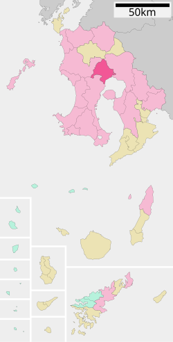
 Location of Aira in Kagoshima Prefecture | |
 | |
| Coordinates: 31°43′42″N 130°37′40″E / 31.72833°N 130.62778°E | |
| Country | |
| Region | Kyūshū |
| Prefecture | Kagoshima |
| Government | |
| • Mayor | Yoshihiro Yumoto |
| Area | |
| • Total | 231.25 km2 (89.29 sq mi) |
| Population (April 1, 2024) | |
| • Total | 77,948 |
| • Density | 340/km2 (870/sq mi) |
| Time zone | UTC+09:00 (JST) |
| Phone number | 0995-66-3111 |
| Address | 25 Miyajimamachi, Aira-shi, Kagoshima-ken 899-5492 |
| Climate | Cfa |
| Website | Official website |
| Symbols | |
| Flower | Cerasus jamasakura Rhododendron |
| Tree | Cinnamomum camphora |


Aira (姶良市, Aira-shi) is a city located in Kagoshima Prefecture, Japan. It is located west of Kirishima and north of Kagoshima. As of 29 February 2024[update], the city had an estimated population of 77,948 in 38338 households, and a population density of 340 persons per km².[2] The total area of the city is 231.25 km2 (89.29 sq mi).
- ^ Sakurajima Volcano, Kyushu, Japan - January 28, 2013
- ^ "Aira City official statistics" (in Japanese). Japan.


