Al-Butayha
البطيحة | |
|---|---|
Village | |
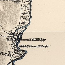
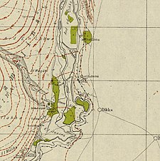
A series of historical maps of the area around Al-Butayha (click the buttons) | |
Location within Mandatory Palestine | |
| Coordinates: 32°54′59″N 35°37′28″E / 32.91639°N 35.62444°E | |
| Palestine grid | 208/257 |
| Geopolitical entity | Mandatory Palestine |
| Subdistrict | Safad |
| Date of depopulation | May 4, 1948 |
| Area | |
• Total | 16,690 dunams (16.69 km2 or 6.44 sq mi) |
| Population (1945) | |
• Total | 650[1] |
| Current Localities | Almagor[2] |
Al-Butayha (Arabic: البطيحة) was a Palestinian Arab village in the Safad Subdistrict. It was depopulated during the 1947–1948 Civil War in Mandatory Palestine on May 4, 1948, by the Palmach's First Battalion during Operation Matateh. It was located 13 km southeast of Safad, quarter of a mile east of the Jordan River, a little northeast of the northern tip of the Sea of Galilee. Many of the inhabitants were forced into Syria.


