Al-Manshiyya
المنشية | |
|---|---|
Village | |
| Etymology: From personal name[1] | |
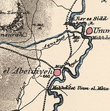
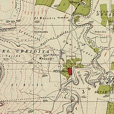
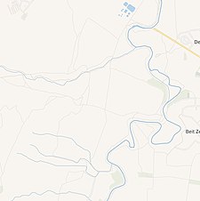
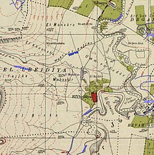
A series of historical maps of the area around Al-Manshiyya, Tiberias (click the buttons) | |
Location within Mandatory Palestine | |
| Coordinates: 32°41′33″N 35°33′29″E / 32.69250°N 35.55806°E | |
| Palestine grid | 203/233 |
| Geopolitical entity | Mandatory Palestine |
| Subdistrict | Tiberias |
| Date of depopulation | March 3, 1948 |
| Current Localities | Beit Zera[2] |
Al-Manshiyya (Arabic: المنشية) was a Palestinian Arab village in the Tiberias Subdistrict, located 11 kilometres south of Tiberias.[3] It was probably depopulated at the same time as neighbouring Al-'Ubaydiyya, in the 1947–1948 Civil War in Mandatory Palestine.[4] Manshiyya was located 1 km south-west of Umm Junieh or Khirbat Umm Juni.


