| Amberd | |
|---|---|
| Aragatsotn Province, Armenia | |
 The fortress of Amberd | |
| Coordinates | 40°23′19″N 44°13′35″E / 40.3886°N 44.2264°E |
| Type | Fortress |
| Site information | |
| Open to the public | Yes |
| Condition | A large portion of the fortification walls, bath house and church remain intact. |
| Site history | |
| Built by | Kamsarakan family |
| In use | Site: Since the Stone Age; Fortress: From the 7th to 13th centuries |
| Demolished | 1236 by the Mongols |
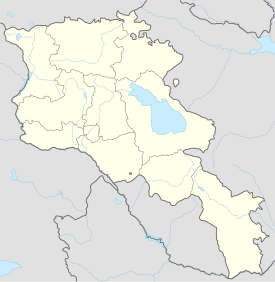
Amberd (Armenian: Ամբերդ) is a 10th-century fortress located 2,300 meters (7,500 ft) above sea level, on the slopes of Mount Aragats at the confluence of the Arkashen and Amberd rivers in the province of Aragatsotn, Armenia. The name translates to "fortress in the clouds" in Armenian. It is also the name incorrectly attributed to Vahramashen Church, the 11th-century Armenian church near the castle. The village of Byurakan is 6.4 kilometres (4.0 mi) from the site of Amberd.
In 2024, the pan-European Federation for Cultural Heritage Europa Nostra included Amberd, a medieval fortress, in the list of the 7 most endangered European monuments and heritage sites. The buildings of the complex may collapse due to age, lack of funding for reinforcing the structures, and because of erosion and earthquakes.[1]
- ^ "Армянская крепость "Амберд" внесена в список 7 памятников Европы, которым угрожает исчезновение" (in Russian). newsarmenia.am. Retrieved 2024-02-16.

